A chance to discover more of the Yorkshire Dales National Park. Or that was the plan at least, until a 4 day break was cut to 2 and a bit, with an early exit to get home safely before the forecast 20cm or more of snow had chance to trap me in the narrow cobbled streets of Settle Old Town. (I’m not naïve enough to have bet my house on the long range forecast I’d checked out 3 weeks previous when I booked, but even so … ). So just enough time for a day’s walking in Malham, and then a tour to check out the area around the Three Peaks, Ingleton, and the lovely little market town of Kirkby Lonsdale, ready for another visit some time.
Malham’s a haven for low level and casual walkers, but the sort of place that committed hillwalkers maybe keep in their back pocket until bad weather, shortage of time, or other circumstances prevent them from getting onto the tops. I’d had it on hold for years, so this time round, made it a priority to finally tick it off.
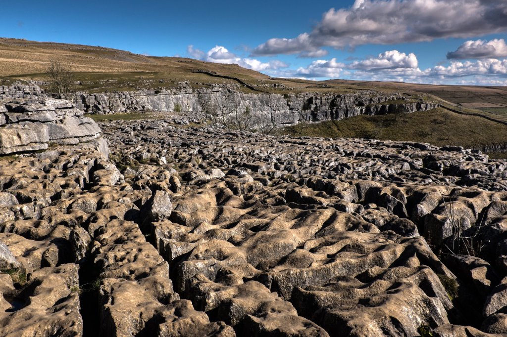
Most people will know roughly what to expect before they arrive – the spectacular limestone pavement above the cliffs of Malham Cove have been well photographed, and in the Harry Potter and the Deathly Hallows film, Harry and Hermione even camped there. (Or so I’m told. Not really a fan if I’m honest).
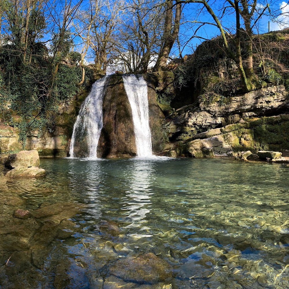
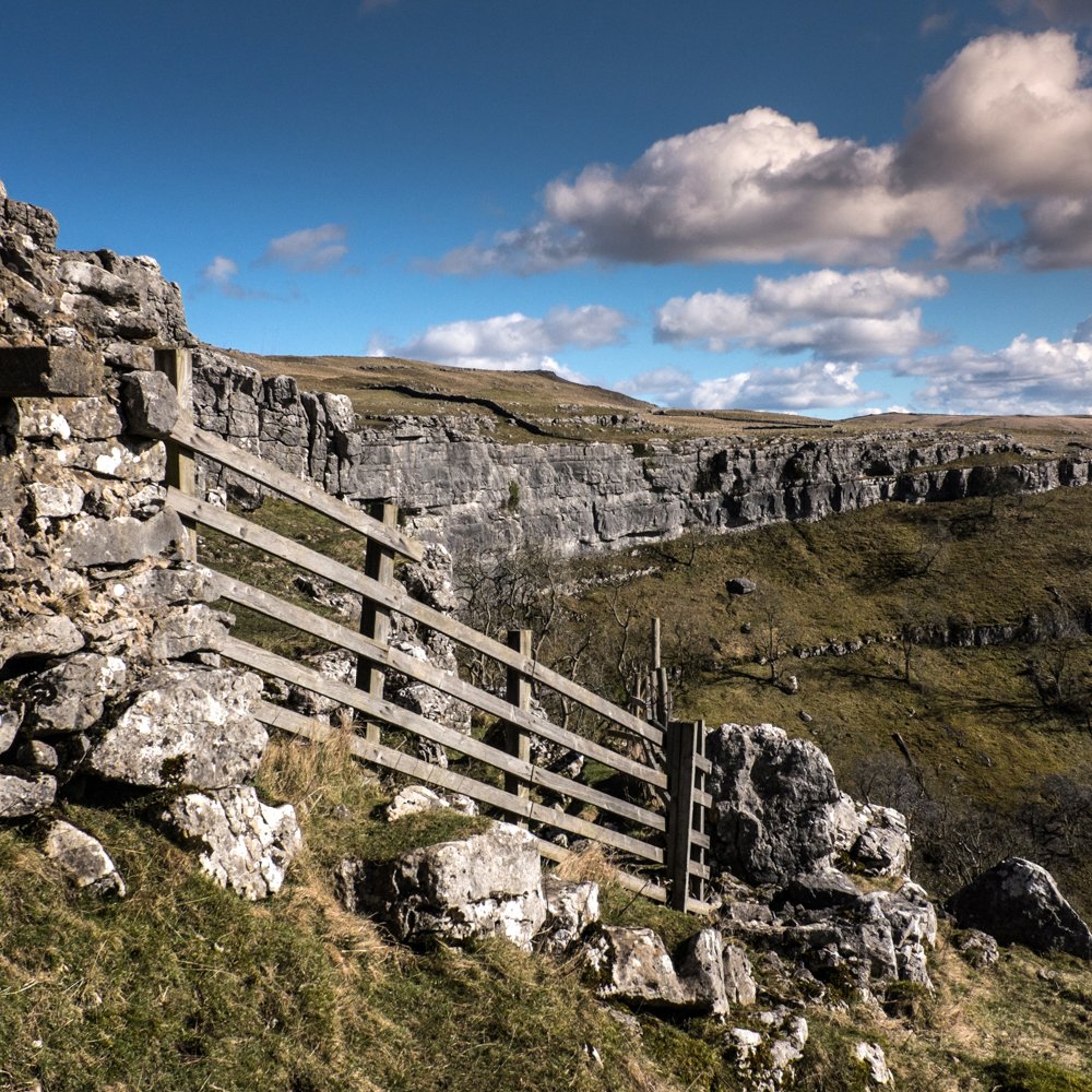
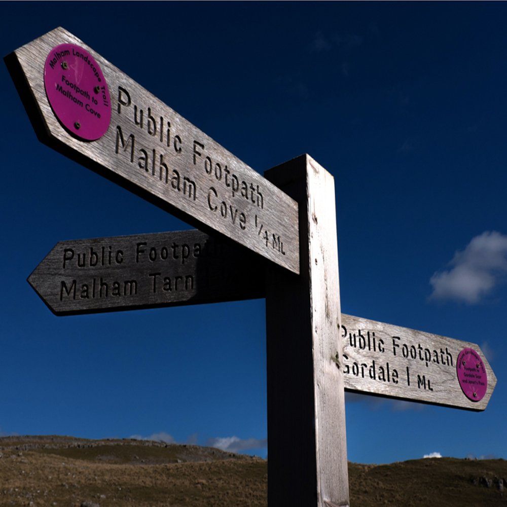
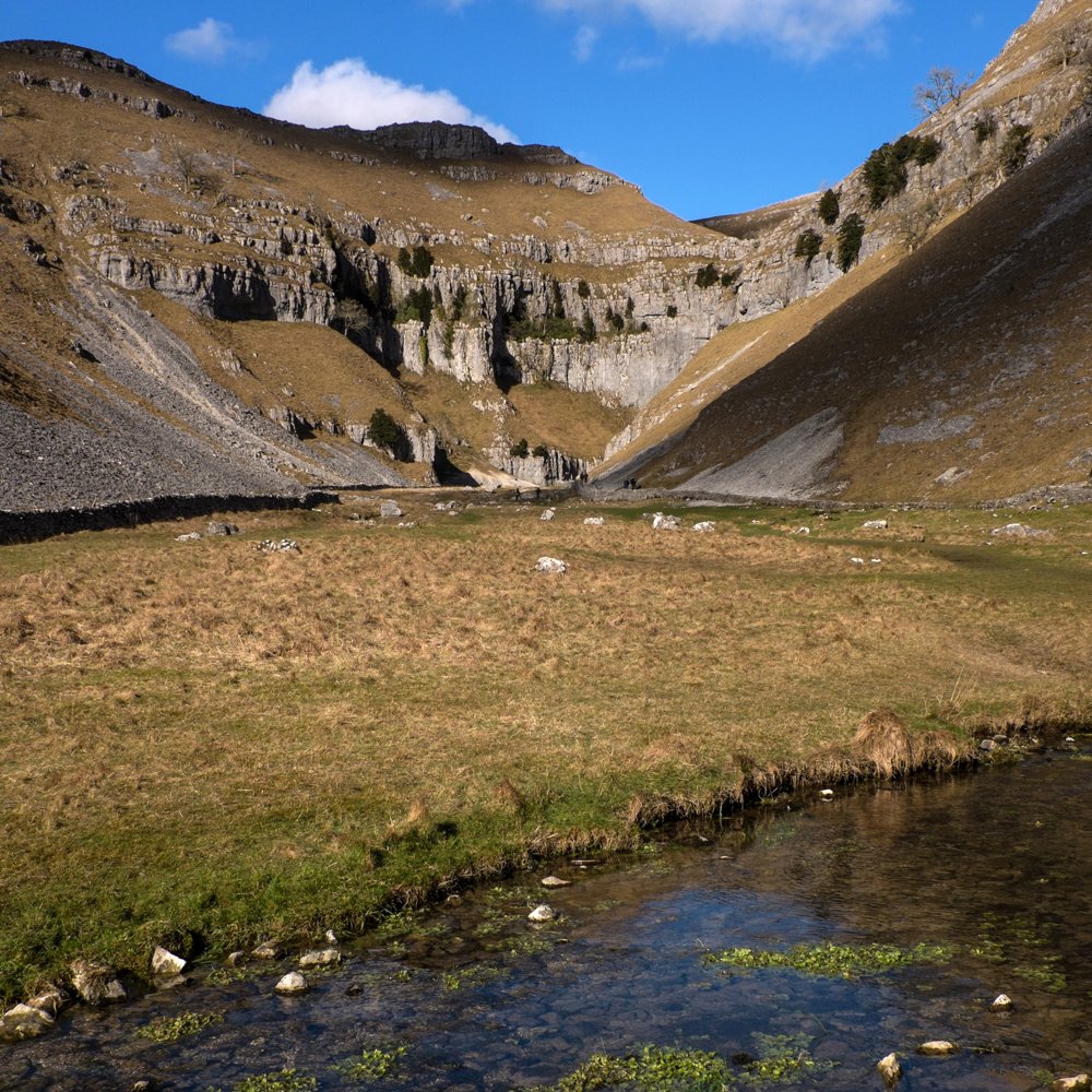
Malham Cove has to be the keystone of any walk, but there’s a wealth of other focal points too, and the obvious circular route of the Cove, Gordale Scar and Janet’s Foss from Malham Village is a handy 4.5 mile route of around 2 hours (or say 3 if like me, you make a lot of photo stops). Adding in Malham Tarn will extend that to 7-8 miles, and as you’d expect in a National Park honeypot, it’s all on clearly signposted and easy to follow paths that need minimal navigation skill.
If the weather’s right, the adventurous have the option of starting at the Janet’s Foss end, and then doing the scramble up Gordale Scar rather than the easy path to/from Gordale Bridge
At busy times, parking in Malham village will be the key issue, but when I visited, the National Park’s car park was only half full, and there were even spaces alongside the road for people with short arms and deep pockets who didn’t want to pay the £5.
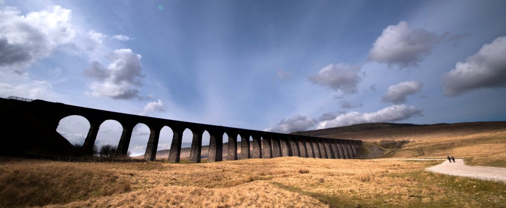
Next day, heading north via Horton in Ribblesdale, as temperatures dropped and a bitterly cold wind blew across the moors, I fitted in a couple of short walks en route, including a photo stop at Ribblehead Viaduct in the shadow of Whernside.
I’m fascinated by some of the place names in that area which are clearly Cumbric in origin – that language of Yr Hen Ogledd/The Old North which is closely related to Old Welsh and other Brythonic tongues.
Pen y Ghent (Pen y Gwynt, Hill of the Winds) is a fairly obvious and often quoted example, but others less so – Wikipedia claims that Whernside and Great Whernside are from Quern meaning millstone, but surely it’s more likely that they come from Wern meaning bog or swamp. And then there’s Great Coum (Cwm, rounded glacial valley), Cam Fell (Cam = crooked), Gregareth and more.
From what I can see, the Cumbric names all seem to be concentrated around the western side of the Dales, and if they form an old linguistic boundary (which is not all that different to the modern boundary between Cumbria and Yorkshire), does that coincide with the boundaries of the ancient kingdom of Elmet/Elfed : https://en.wikipedia.org/wiki/Elmet ? Just a theory, but would love someone who knows a bit about linguistics and celtic history to have a good look.

Leave a comment