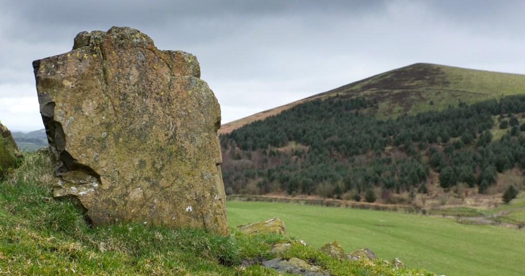
Welsh speakers have a phrase ‘Mwynder Maldwyn’, which translates roughly as ‘the mildness of Montgomeryshire’, to describe the gently rolling hills that cover most of the old county. On the border between Wales and England though, where they merge with the Shropshire Hills near the Stiperstones, they get a bit rougher round the edges, and it’s in that little area that Corndon Hill, at 513m, rises above its neighbours.
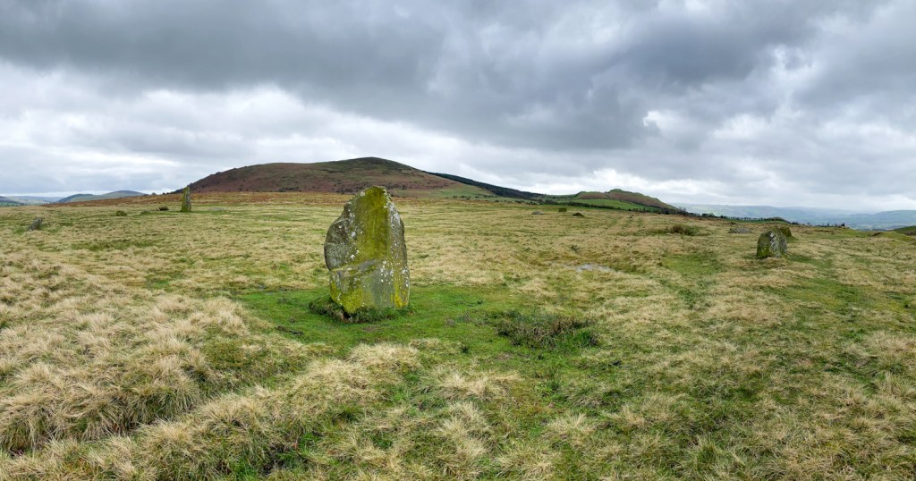
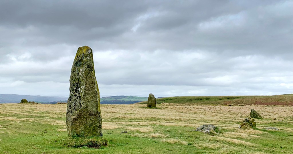
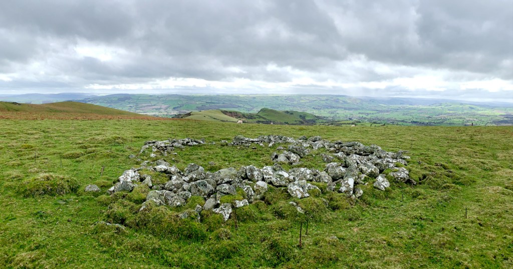
It’s an interesting little area (some would say backwater), and archaeologists in particular can have a field day here. As well as numerous burial cairns on the top of Corndon, Mitchell’s Fold stone circle is just over a kilometre to the north, and there’s evidence of a prehistoric axe factory, and mining, in the area too.
The area sits in a ‘salient’ – a bit of Wales that sticks out into England and nowadays it’s one of the areas of Wales with the lowest percentage of Welsh speakers. But the language is there in the place names and in amongst the english names (e.g. White Grit) you’ll find pure welsh (Maesgwyn), anglicised welsh (Corndon), and some names that are even a mash-up, like Cwm Dingle.
Near Mitchell’s Fold stone circle, there’s a car park (plus room for a few cars at a junction). Heading north from there, you reach the stone circle in a few minutes, so it’s worth a quick visit even if you’re planning on then heading in the opposite direction.
Heading south, there’s a long rough lane that passes between Corndon Hill and Lan Fawr (a smaller lump on Corndon’s western flank). If you take the lane, after about half a kilometre as you reach a wooded area, there’s a gate and stile to a steep, lung-busting path which will take you straight to Corndon Hill’s summit cairn and trig point (and bizarrely, a bench!). Signs tell you that it’s a permissive path granted by Powis Estates, but that’s out of date now, and ¾ of the hill is now open access land, where you can freely walk as you want.
Once you’re at the top, there’s options. I followed the fence, and then a row of old fence posts south to a farm track, which took me to the foot of Lan Fawr, for a quick up & down, and then back along the lane again to the car park. But other paths on the south side would allow you to extend your walk if you want.
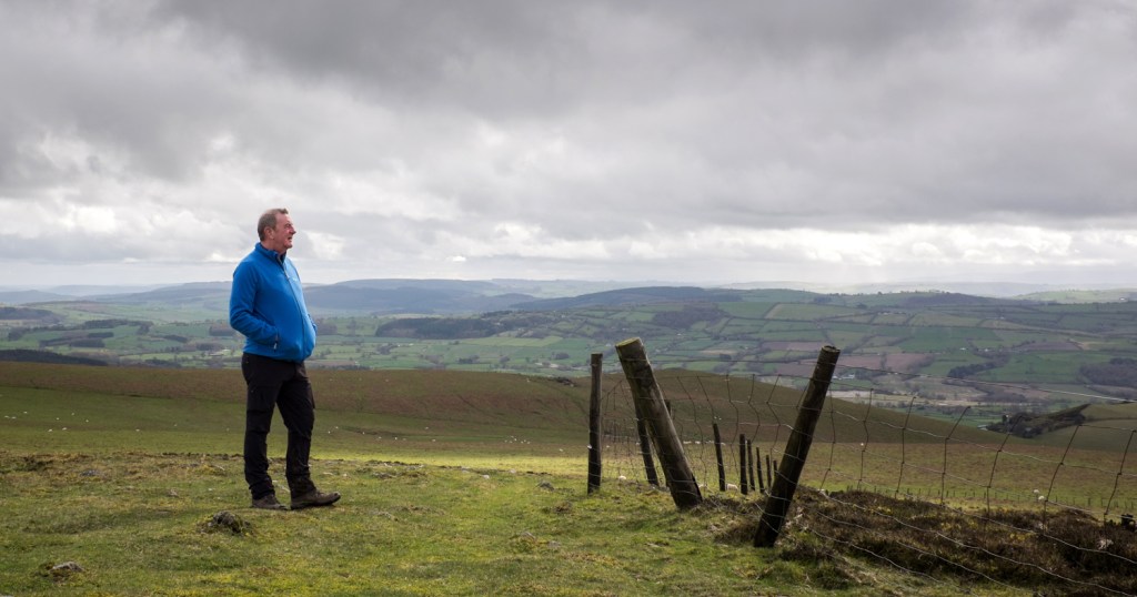
All in all, it’s an area that has loads of interest. Not just the archaeology, but for its geology, and (from what my untrained eye could see) its wildlife too – a red kite patrolled the sky as I arrived, and later a pair of buzzards on the other side of the hill, accompanied by skylarks and more. And if you like the quieter areas, away from the crowds, it’s a much better choice than say Carding Mill Valley or Caer Caradog on the other side of the Shropshire Hills. Away from Mitchell’s Fold, I saw just 1 family group and 1 couple in 3 hours.
One thing to mention – the postcode of SY15 6DE only takes you to the general area, and if you’re coming from Chirbury/Montgomery direction you’ll need to turn right in Priest Weston, not left as my satnav tried to tell me. But I wouldn’t come that way anyway, if you can avoid it! The last 2 miles is pothole-ridden and slow going. Better to approach from Minsterley direction if you can; it’s a bit nearer the A roads from that side.

Leave a comment