Route Notes : Cadair Berwyn and Moel Sych, from Pistyll Rhaeadr
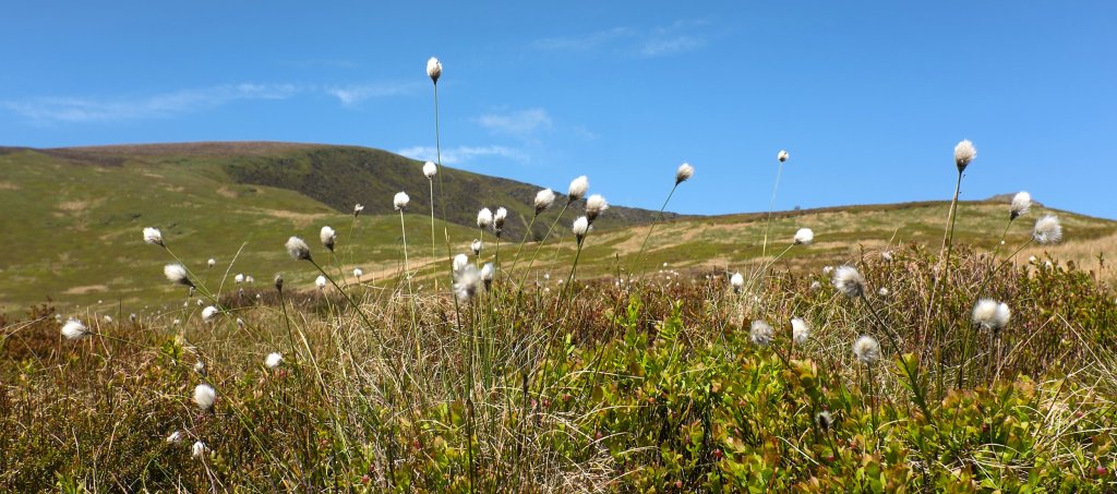
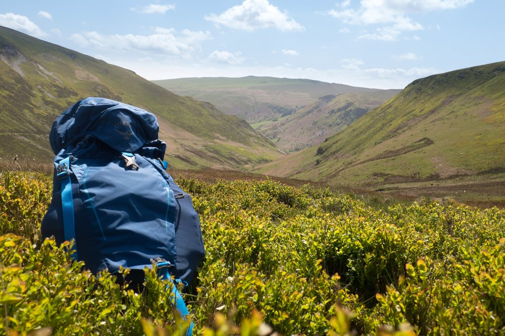
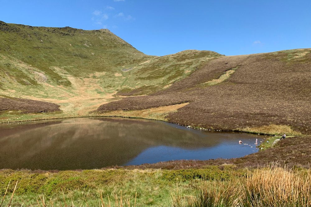
Fairly strenuous 2-3 hour walk, through a scenic valley and past a glacial lake to the highest point in the Berwyn at 832 metres
(a remote and quiet area, where mountain skills are required in all but the best weather)
Distance : approx 9 km (5.6 miles), 640 m ascent.
Start point :
The cafe and campsite at Pistyll Rhaeadr Waterfall (postcode SY10 0BZ, grid ref SJ 074 295) at the end of the 5 mile single width road with passing places signposted ‘Waterfall’ from Llanrhaeadr ym Mochnant village. There’s parking at the cafe at £5 per day (May 2022) and also in a layby nearby, though that fills up fairly quickly. The road, and the area around the cafe, can get quite congested at peak times such as Bank Holidays and some summer weekends, so this is a walk that’s maybe best done on a quieter day.
Route :
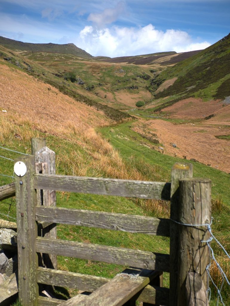
Ignore the footpath directly opposite the cafe, that leads into the wood, and instead head back down the road a short distance to a footpath that heads off along the valley side (with the stream to your left) that will eventually lead to Llyn Lluncaws. At the lake, take the path up the ridge to your left to Moel Sych, the first summit.
Cadair Berwyn is about 1 km along the clifftop, and the true high point, known as Cadair Berwyn North Top or Craig Berwyn, is a further 1 km along at the obvious promontory.
From there, retrace your steps to Moel Sych. Take care to turn left here, and not to overshoot and end up on the path to Ceulan Myheryn. But for a circular route rather than returning to the lake, stay on the high ground and take the path that heads south, following a fence on your left along the broad ridge of Trum Felen. Towards the end, the path divides into three. The right hand path which heads into the wood leads to the top of waterfall, and a dead end. Instead, take the path ahead or to your left, which will lead back down to the cafe and road.