Safety First
On the relatively small hills in North East Wales, there aren’t that many risks. It’s mostly a case of having the right gear – waterproofs, and a decent pair of walking boots to protect your ankles and, at least until you’ve built up your navigation skills, keeping to recognised paths.
But if you’re heading off the main paths in poor visibility, or into the more remote areas like the Berwyn, you’re going to need to up your game a bit – you’ll need a map & compass (because mobile phone batteries fail, and reception can’t be relied upon), plus the ability to use them. And winter conditions demand additional skills on top.
Whatever your skill level, it’s always worth letting someone know where you’re heading, so that emergency services know where to look if you don’t arrive back when you should!
If you’re starting from scratch, and need to learn some basic navigation skills, there’s loads of tutorials on the Ordnance Survey website. Click here :
MAP READING SKILLS – Beginner’s Guide

maps and apps
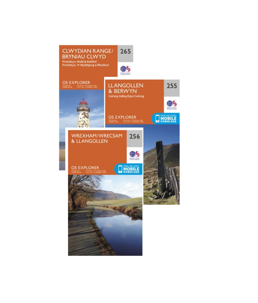
For hillwalking, Ordnance Survey Explorer mapping, at a scale of 1 : 25,000, is recommended.
The additional detail of the Explorer maps (compared to the 1:50,000 Landranger maps) can be invaluable when planning walks – they show fences, walls and field boundaries for example, and Open Access Land (areas where, under ‘Right to Roam’ laws you can freely walk, even if there aren’t established public footpaths).
Explorer Maps are priced at around £9. But a OS Premium subscription, giving access to Leisure Maps (both Explorer and Landranger) for the whole of Great Britain is currently just £29.99 per year.
Whichever way you do things, it makes sense to carry a paper map or a printout when out walking, preferably protected from rain with a plastic case. In remote areas, reception can’t be relied upon. And even if you download a map to your phone to use ‘offline’, phones and batteries can fail when you most need them.
And it’s worth making sure that the area of your map is big enough not just for the route you’re planning on walking, but also the area around it that you may end up in if you get lost!
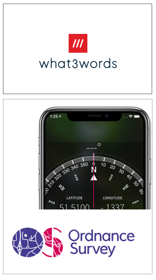
location apps – what3words and OS locate
What3words is a smartphone app that can identify your precise location, and give it a 3 word code to communicate to emergency services. If you’ve seen their TV ads, you’ll know that the entire globe has been divided into 3×3 metre squares each with its own unique three-word code, so for example the summit of Foel Fenlli would be limits.cracker.minority.
It can be used offline, without a signal or data connection, to find your location, but of course you (or a group member who goes for help) will need a phone signal to relay it to others.
Potentially, it could be a life saver, but Mountain Rescuers are starting to question its accuracy, and if possible will use other tools like phonefind and sarloc : https://www.bbc.co.uk/news/technology-57156797
Ordnance Survey’s ‘OS Locate’ is an alternative that gives your location as a tried-and-trusted OS grid reference. Worth having both apps on your phone, just in case?

mountain weather information service
For our area, MWIS is probably the most accurate forecast available. Although the ‘headline’ information is written with Eryri (Snowdonia) summits in mind, reading between the lines will give a good indication of the conditions to be expected a bit further to the east, and a bit lower down.
As a rough rule, when the wind is from the west (as it is most days), whatever Eryri has now, the north east will get within an hour!

Adventure Smart is a campaign led by experts from leading safety and sports organisation to promote safe adventures.
There’s load of good advice on their website, including this page on kit, and what to pack for a day on the hills :
the law
in wales, you can legally walk :
- on public rights of way – public footpaths, bridleways, restricted bridleways and ‘boats’ (bridleways open to all traffic)
- on permissive paths – paths which are not public rights of way, but where the owner has given permission.
- on Open Access Land – land designated as such under the Countryside and Rights of Way Act 2000 (CRoW Act). It includes open country (most of our mountains and moorlands), plus registered common land, coastal margins, land where owners like Natural Resources Wales allow access, and most National Trust land. In Wales, around 1/5th of land is Open Access.
Ordnance Survey Explorer Maps show almost all Open Access land (yellow shaded areas, with an orange/brown border) and public rights of way.
(The same law applies in England, but not in Scotland which has much wider access rights).


the countryside code
respect, protect, enjoy
Respect everyone
- be considerate to those living in, working in and enjoying the countryside
- leave gates and property as you find them
- do not block access to gateways or driveways when parking
- be nice, say hello, share the space
- follow local signs and keep to marked paths unless wider access is available
Protect the environment
- take your litter home – leave no trace of your visit
- do not light fires and only have BBQs where signs say you can
- always keep your dogs under control and in sight
- dog poo – bag it and bin it in any public waste bin
- care for nature – do not cause damage or disturbance
Enjoy the outdoors
- check your route and local conditions
- plan your adventure – know what to expect and what you can do
- enjoy your visit, have fun, make a memory
Read more on the Natural Resources Wales’ website :
Natural resources wales

mountain or hill?
The distinction between the two is arbitrary. Generally in the UK, we draw the line at 2000 feet (just under 610 meters).
But even then, there’s still debate. Where two mountains merge into one another in a range, how much separation should there be for them both to qualify? Some use a ‘prominence’ (the drop from summit to col) of 15 meters (50 ft) , others 30 meters (100 ft roughly).
So those different definitions have given rise to a variety of lists.
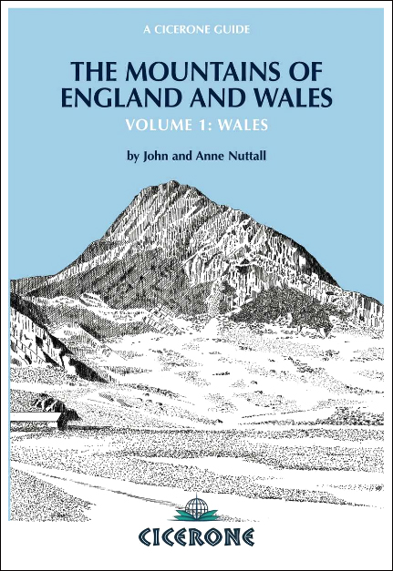
The Nuttalls List (named after John & Anne Nuttall who compiled it) includes 188 mountains in Wales (more here : Nuttalls ). The stricter Hewitts list puts it at 136 (Hewitt is an abbreviation of ‘hills in England, Wales and Ireland over two thousand’).
(Foel Goch, between Llangwm and Bala, shown here, is one of the smallest mountains in Wales, just squeezing into the lists at 611m)
the best guide book for mountain hikes in wales
…. in my opinion, is The Mountains of England and Wales (Volume 1 : Wales) written by John & Anne Nuttall who surveyed and drew up their list of welsh summits. Published by Cicerone Press , the book is the ‘bible’ for Nuttalls’ peak-baggers, and describes how to ascend all 189 mountain summits of Wales, in a series of 49 walks.
The 3rd edition, printed February 2021, can be ordered from the Cicerone website