The quieter side of Moel Famau, with arguably a more natural feel – streams, bracken and narrower paths. Fairly strenuous, with a couple of steep climbs/descents.
Distance : 6 km approx. (5 miles), 360 m ascent.
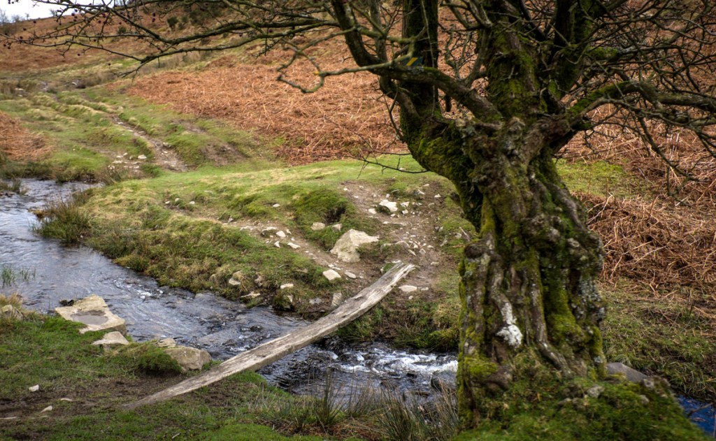
(Includes a stream crossing – see route below and the photo)
Start point : A layby with room for 6 or so cars at OS grid ref SJ 172 647, postcode CH7 5PF. From behind the church, follow the road that heads downhill to a junction at the bottom. (Parking space may be an issue at busy times)
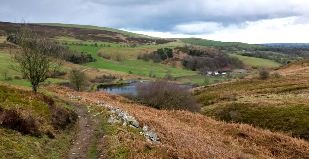
Route : Take the wide track that heads towards the hills where the two roads meet. If you’ve visited the area before, you’ll know that there were 3 reservoirs to the right of this track. The bottom two linked reservoirs have been removed, and the river returned to its more-natural state; the third reservoir remains. As you reach that reservoir, the path heads off to the left, and shortly after crosses a stream. (When I visited, there was a plank across the stream – the best approach is to keep moving, and cross it quickly, rather than attempting to hold your balance half-way across!).
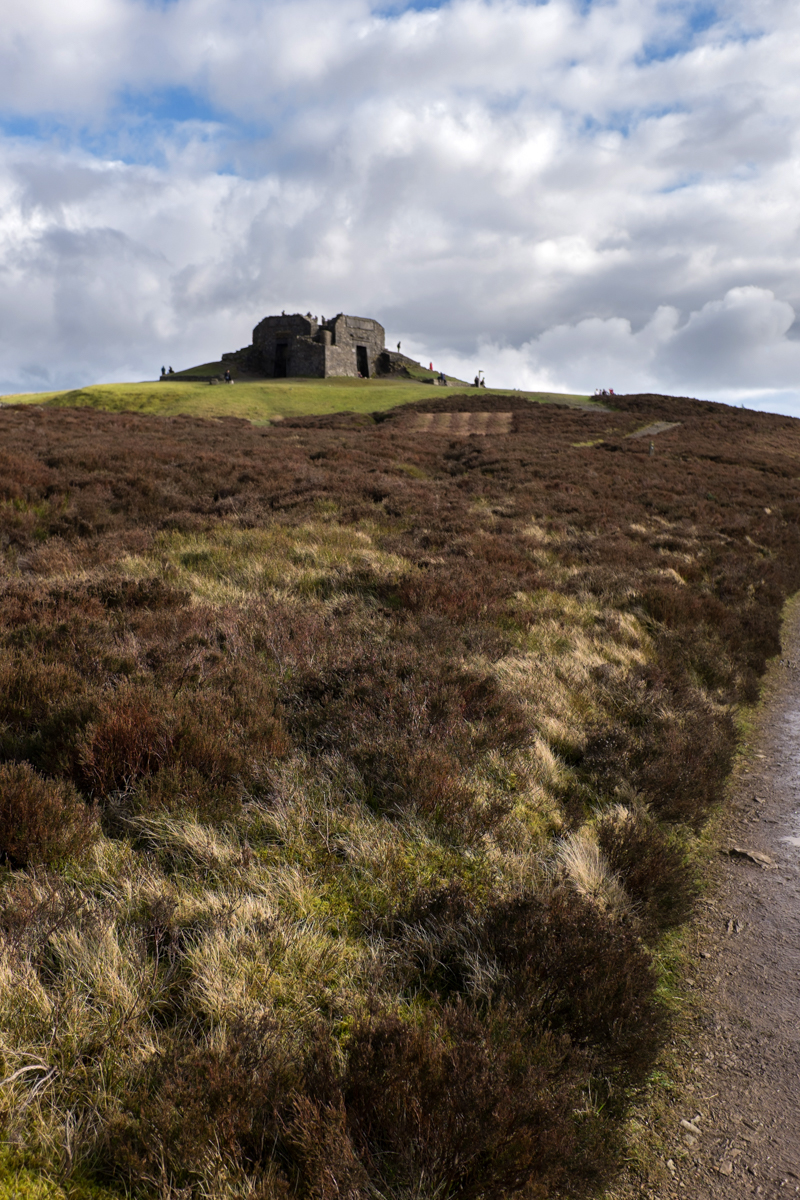
Having crossed the stream, the small left hand path which heads quite sharply uphill is the more direct route to Moel Famau. Take this, and turn right near the top where it joins a wider path, then left when you reach a stile over a fence (and dilapidated stone wall), and emerge onto the main ridge and Offa’s Dyke Path. From there tough 100m climb, the steepest of the walk, will bring you to the tower on the top of Moel Famau.
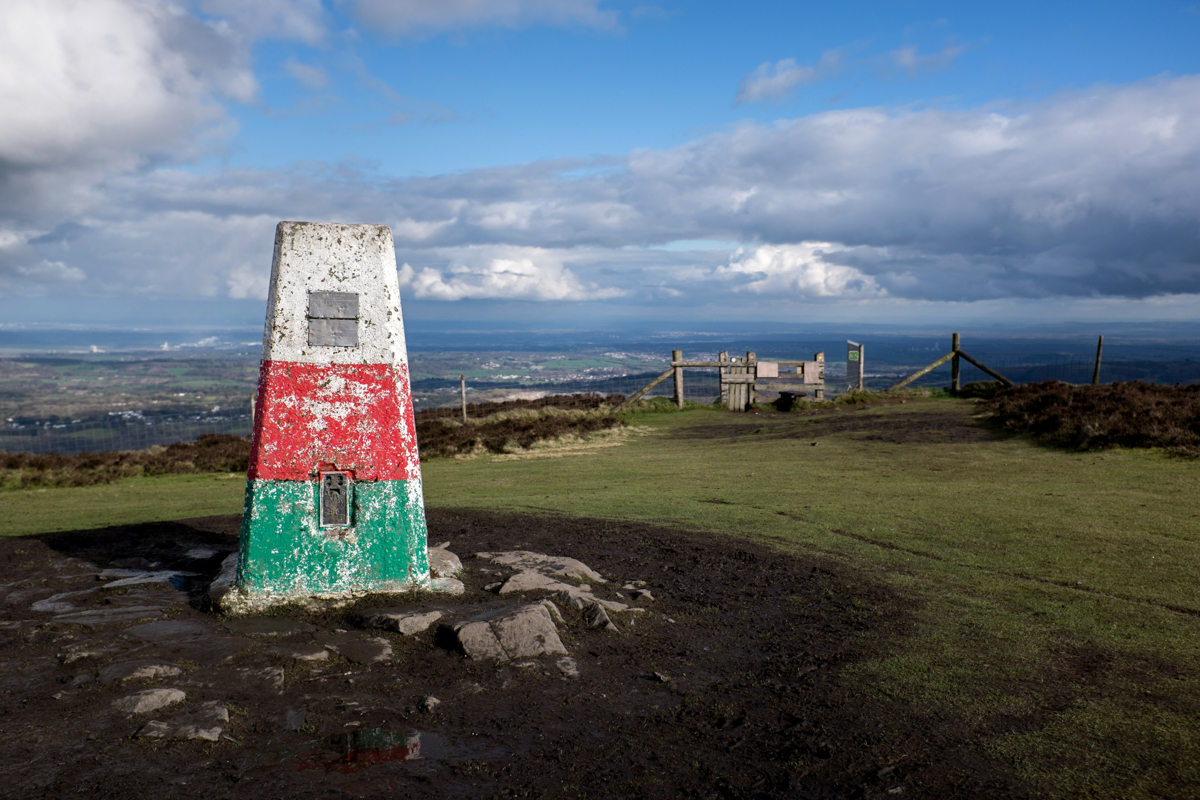
As you approach the tower, make a mental note of the path that’s off to your left – that’s the one you need for your descent, not the one that’s closest to the red, white & green painted trig point.
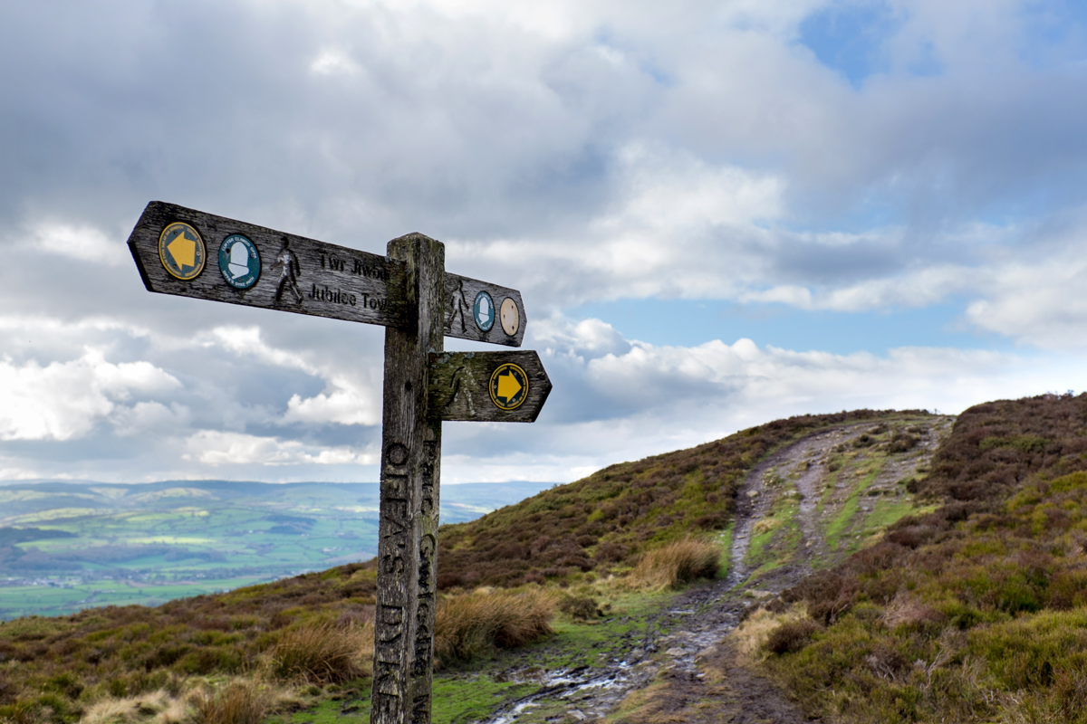
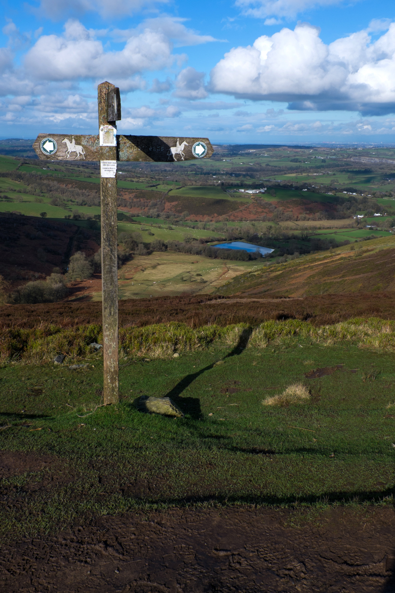
The stile says Loggerheads, but after about 0.7 km the steep stony path reaches a junction with a grassy bridleway. You need to cross this by going slightly left then immediately right into the little valley leading down to the reservoir. The steepish but scenic little path eventually goes to the left of the reservoir, and comes to a T-juntion with another track (with a public footpath opposite). Turn left here past Cae Newydd, then right and back to the start point.


(The last stretch can get a bit muddy after rain. There’s an alternative – you can go right at the bridleway towards Mynydd y Ffridd / Ffrith Mountain, then take a sharp left on the bridleway soon after entering a wood, but there’s a bit of a quagmire on one stretch of that too! )
