Route Notes : Penycloddiau, from Coed Llangwyfan
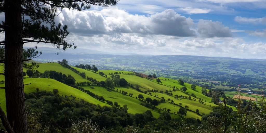
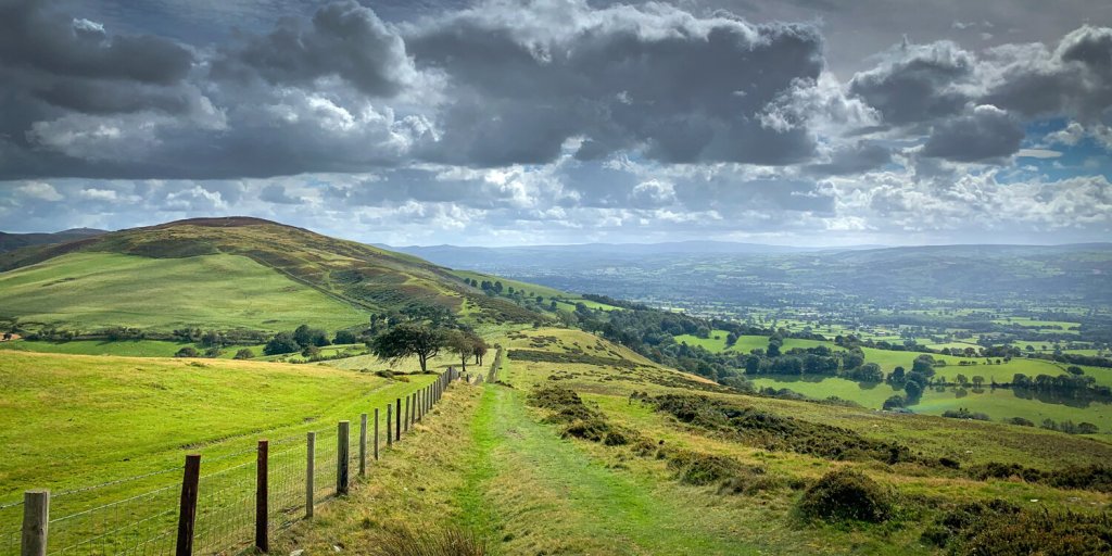
A mildly strenuous 2-3 hour walk visiting an Iron Age Hill Fort on one of the quieter hills of the range. Great views towards the coast, and to Wirral/Liverpool
Distance 7.7 km approx. (4.5miles), 300 m ascent.
(with the option of shortening to 3 km, or extending to 10 km with a quick out-and-back visit to Moel y Parc from the col mentioned in the final paragraph)
Start point : The car park on the minor road from Nannerch to Llangwyfan, at Coed Llangwyfan (OS Grid Ref: SJ 138 668).
If you’re approaching from the Mold, Wrexham or Chester direction, take the A541 Mold-Denbigh road, and turn off for Nannerch village. On entering the village on Village Road, take the left hand turn signposted Llandyrnog/Fly Fishing, and carry on along this road for about two and a half miles to the car park.
Route :
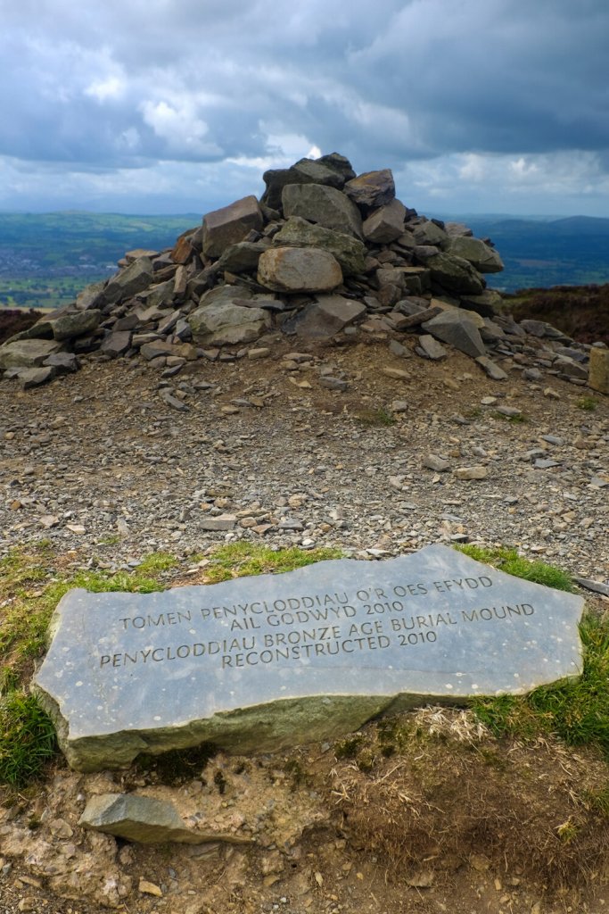
In the Car Park, you’ll see the start of three main paths (plus a narrower one on the extreme right). Take the right hand path of the main three, and follow until the way ahead is blocked, turning right there steeply up the hill, and continue on clear paths to the summit cairn and re-constructed burial mound.
For a short route of 3 km and 145m ascent, head back to the start from here, or for a slight variation stay high on the path along the ridge as long as you can, which will eventually lead you onto the narrower path you saw at the start.
For the full 7.7 km walk, from the summit carry on in the opposite direction to the car park until you reach a col (near a farmhouse to the right). Turn sharply left here onto a bridleway, which follows the contours of the hillside. After crossing the stream Nant Simon, it looks for a while as if you’re heading away from your destination, but as you reach the wood, take a path on your left, which after a bit of a trudge uphill will deliver you quickly back to the car park.