
Ready-made routes
There’s a wealth of routes available online, including a few on this site to get you started.
Map apps allow you to access & download routes that have been created and saved by other users, and can be useful – but with the caveat that you can be putting a certain amount of faith in their accuracy. Personally, l like to stick to Ordnance Survey Premium, not just because they team up with ‘Recommended Route Partners’ like Country Walking and AA Walks, but also because they use their own mapping – official, and tried and tested over a couple of centuries – rather than the much less detailed OpenStreetMap system that some apps use. Call me old-fashioned, but …
There’s still a very firm place for guide books too. With some exceptions, like the excellent Walking Britain website, most online sources don’t give much detail to a route. Books will add a bit of ‘colour’ by pointing out historic features, local wildlife and the rest that you might otherwise miss. And that sort of information is useful, even as your navigation improves, and you start creating your own routes.
Dave Berry’s series from Kittiwake Books cover just about every corner of north Wales, but check out Carl Rogers’ Walking in the Clwydian Range from Northern Eye too, and his books on Eryri. (Most local and online booksellers will stock them, and there’s a good range at the visitor centre in Loggerheads). For the mountains, Cicerone Press come into their own – their The Mountains of England & Wales by John & Anne Nuttall (see Welsh Nuttalls) is the bible for peak-baggers, but Cicerone’s extensive range has lots of other options too.
Planning your own hikes
All the routes available on websites, on apps, and in guide books suffer from one defect. They’re someone else’s route, not yours!
Sooner or later, you’re going to want to change them – to vary the distance, use a different car park, avoid a field-full of bullocks … or whatever. Or crucially, you might need to get back on track if you happen to go astray.
At some point, you’ll need map reading skills, and the ability to create your own routes.

What’s your target?
Where do you want to get to? Are you ‘peak-bagging’ and ticking off a list of summits? Looking for woodlands or waterfalls? Or hillforts, cairns and other historical features? Or nothing in particular as long as there’s a pub or tea shop at the end of it? Sometimes it’s good to just wander and explore, but having a challenging but achievable target to aim for can definitely spur you on & give your walk a sense of purpose & achievement.
How many footpaths lead to it? Any potential obstacles along the way?
Is your target a popular one, where the paths are likely to be well-trodden, and well-maintained? And maybe well-signposted? Or more obscure, and maybe overgrown, and less obvious?
If you’re doing a linear (out of back) route, then at the half-way mark, you’ll know what faces you on the return. If you choose a circular route, which way round is best? It helps to do the potentially more difficult bits near the start, rather than suddenly encounter them late on, when you’re tired.

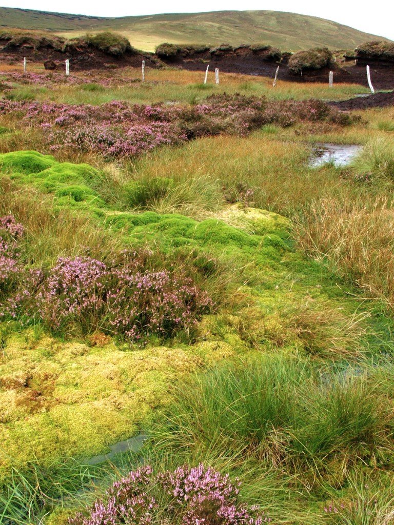
On open access land, we’re not limited to public footpaths, and can take whatever route we want. But if you’re planning on going ‘off piste’, it helps to be able to understand the lie of the land from maps, and the vegetation of that area from previous visits – heather can be a lot more energy-sapping than short grass for instance, and wet marshy areas have their own challenges.
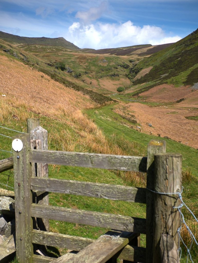
What about fences or walls along the route? If a public footpath crosses them there should be a stile or gate, but if you’re on an unofficial path or open access land it could be tricky. Fences can sometimes be negotiated safely (and without doing any damage), especially at corners, but stone walls though (more common in rocky areas where there’s a ready supply of building material) can be a different proposition!
On the higher hills and mountains, what else should you think about?
Does the route use a ford or stepping stones to cross a stream? That might be easy on a dry summer day but more difficult after heavy rain. How much of an uphill detour would you need to take until the stream narrows and you’d be able to cross it safely?
How steep is the route? If the contour lines are close together, what’s the terrain like? Does it take you over scree, or a scramble over boulders, and is that within your capabilities? On the summits, is there a clear path on grass, or a sketchy one over stony ground? If the route takes you along a ridge, how exposed is it? Some research from guide books, or other walkers who you know and trust, can be useful here.

How will the weather affect your route? The high ground of mountain ridges tends to be dry, with sparse vegetation that makes walking easy, and the superb views they offer can make them the best place in the world to be on calm summer days. But they’re not always so pleasant in rain and strong winds!
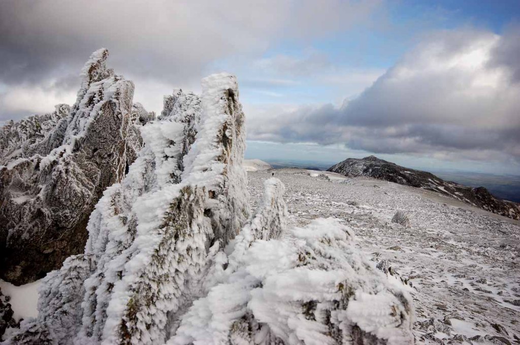
Winter conditions add a new dimension altogether, of course, and when there’s snow and ice around, the higher mountain routes are best left to experienced walkers who have the right equipment and training
How long will it take?
On a 1:25,000 Ordnance Survey Map, each centimetre on the map represents 250 metres on the ground. So the 4 cm thin blue grid squares on the map represent a square kilometre (and diagonally from one corner to another is 1.4 kilometres).
You can calculate the time a walk will take using Naismith’s rule (12 minutes for every kilometre of distance on the flat, for a reasonably fit and steady walker, plus 10 minutes for every 100 metres of ascent). Or use an app which has that formula built in (sometimes customisable to suit your own pace). But remember to add in lunch stops, and breaks for photo ops, or just to catch your breath.
Plus a bit of leeway, just in case!
Parking
Finally, is there parking near the start of the route? Car Parks in rural areas are often marked on OS maps, but if none are shown, Google Street View might be useful to locate lay-bys, grass verges etc. where you may be able to park.
If you’re planning on heading to the popular hills on a busy day, it may be worth having an alternative walk in mind, just in case when you get there, it’s impossible to park legally and safely.
